How to Choose Your Ideal Fort Collins Neighborhood
January 15, 2026
January 15, 2026
What if choosing your Fort Collins neighborhood started with your day, not just a map? Maybe you want to walk to coffee, bike a quiet trail to work, or hit Horsetooth by 8 a.m. on Saturdays. If you’re relocating or moving across town, it can be hard to match those routines to the right areas. This guide shows you how to align your lifestyle with Fort Collins’ trails, transit, dining, and recreation, then plan a smart neighborhood tour. Let’s dive in.
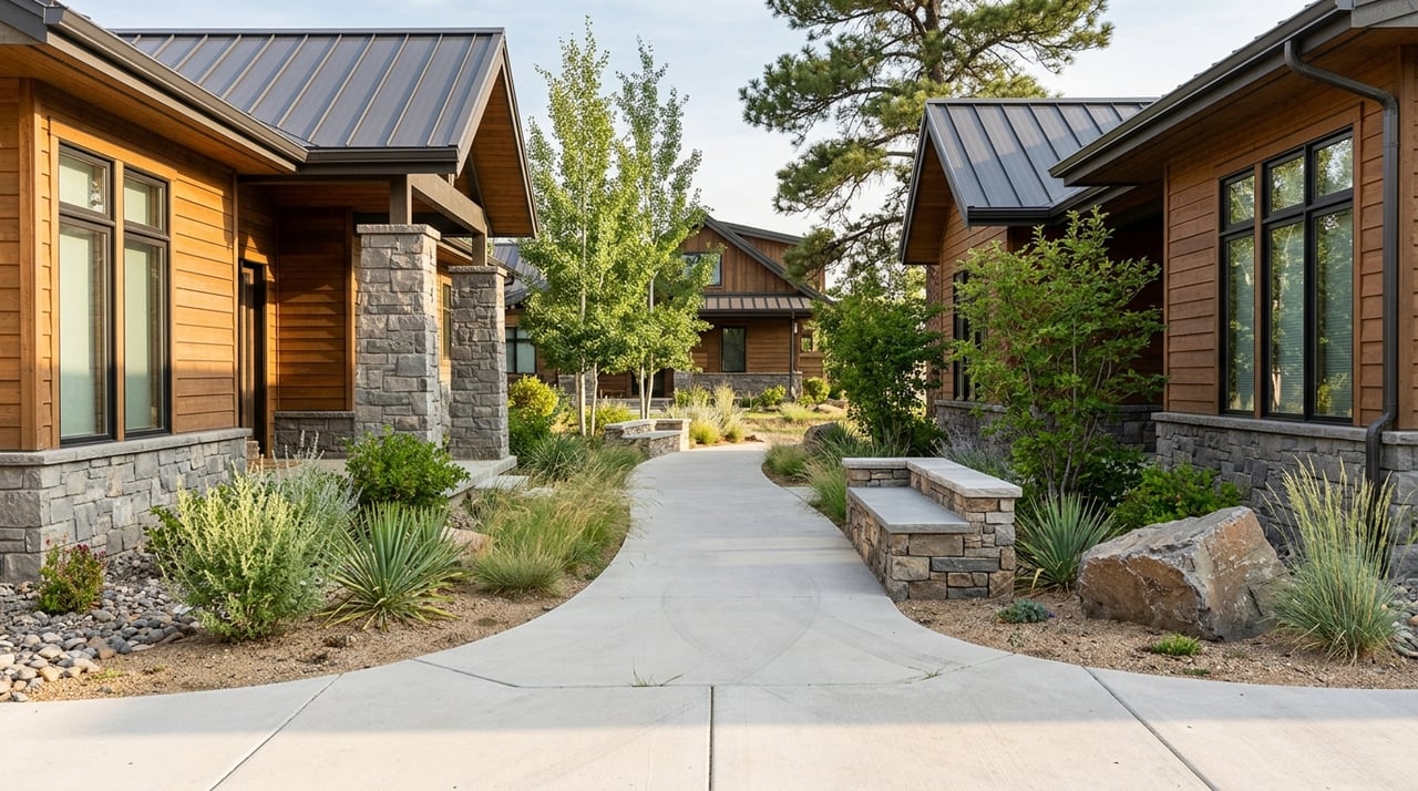
Fort Collins is built for outdoor access and easy movement. A connected trail network runs through town, including the Poudre River Trail, Spring Creek Trail, and the Mason Corridor. These corridors link homes to parks, Downtown, and Colorado State University.
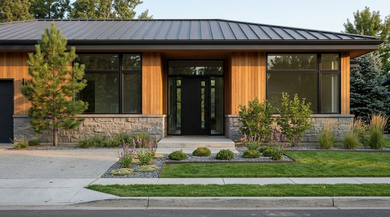
Old Town is the dining and nightlife nucleus, with a high density of restaurants, breweries, and shops. Many nearby streets are walkable or bikeable for everyday errands and evenings out.
Local transit is centered on Transfort bus service and the MAX Bus Rapid Transit corridor, which connects key nodes like CSU, Downtown, Midtown, and the South Transit Center. If you prefer not to drive, living near MAX or frequent bus routes can simplify your weekday routine.
Weekend recreation often points west. Horsetooth Reservoir, Horsetooth Mountain Open Space, and nearby Lory State Park offer boating, climbing, mountain biking, and trail running. West and southwest neighborhoods provide quicker, more direct access for early starts.
Use these five scenarios to pinpoint neighborhood attributes that fit your day-to-day.
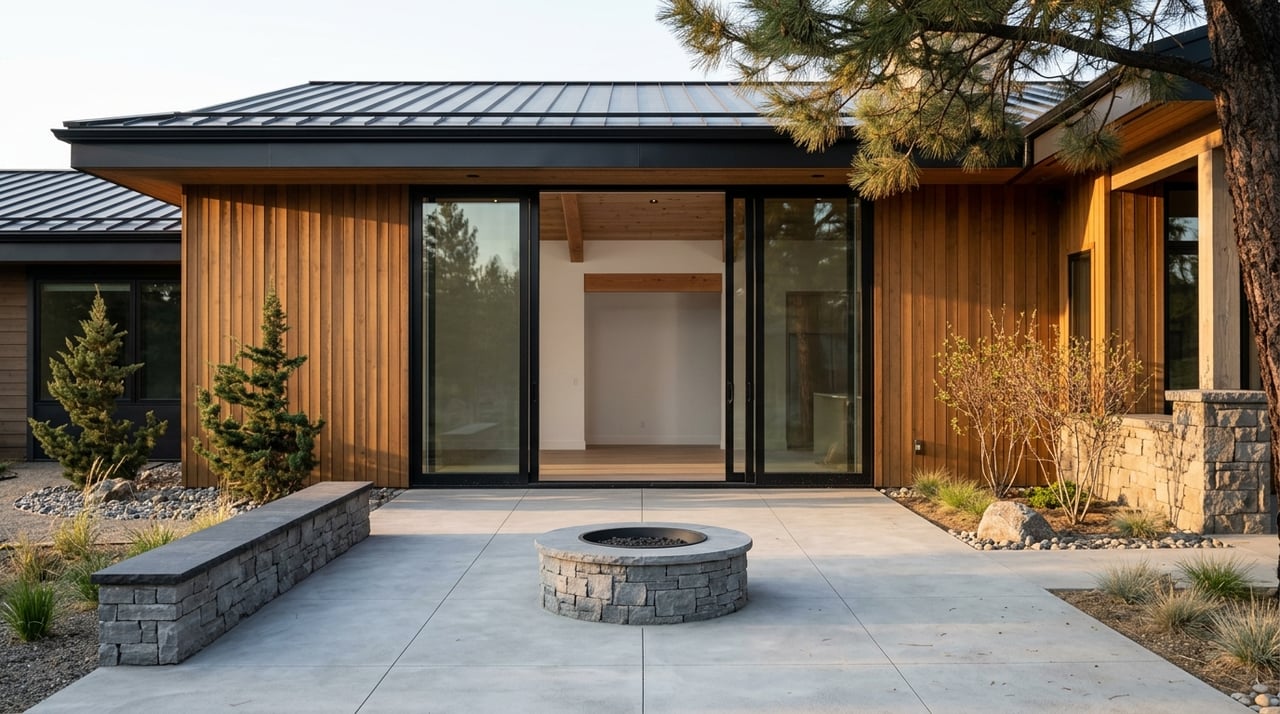
If you want to walk to dinner, grab coffee on foot, or bike for groceries, focus on areas with mixed-use streets and short blocks. You’ll want a cluster of restaurants, coffee, and a market within a 10 to 15 minute walk.
Where to look: Old Town and immediately adjacent streets offer the strongest walkability. Some parts of Midtown and the West side have smaller mixed-use nodes with everyday services.
Tour tests:
If your day starts with a run or ride, look for direct connectivity to the Poudre River Trail, Spring Creek Trail, or the Mason Corridor. These routes link neighborhoods to CSU, Downtown, and parks so you can exercise and commute without getting in the car.
Where to look: Homes bordering the major trail corridors or near neighborhood connectors give the quickest access with minimal street crossings.
Tour tests:
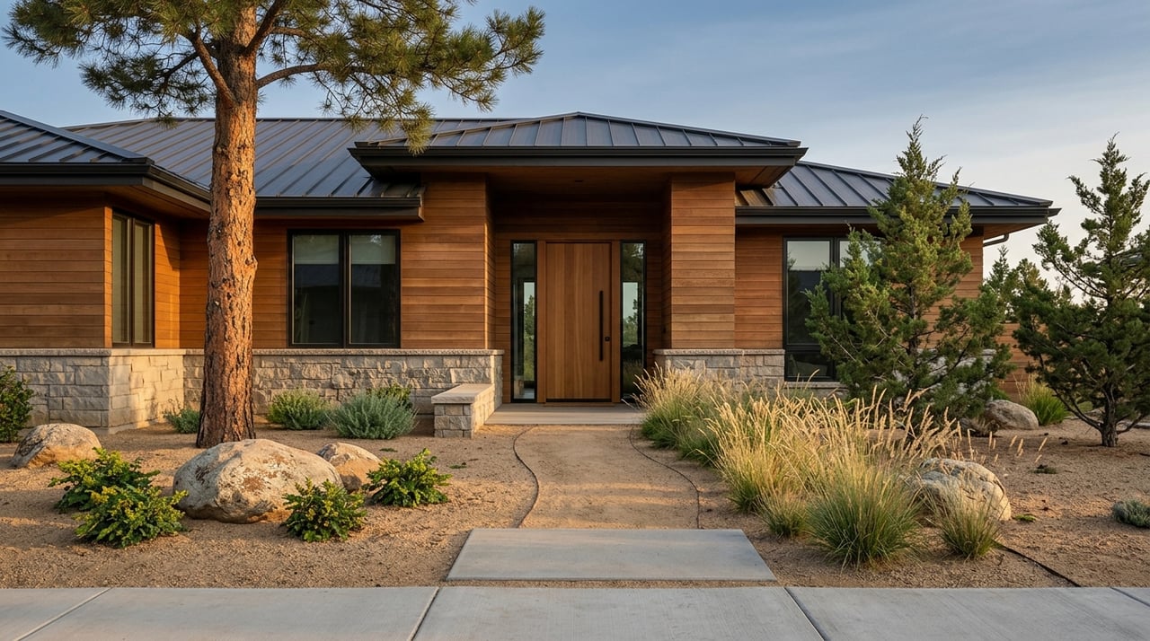
If your calendar revolves around Horsetooth Reservoir, trailheads, and boat ramps, the west and southwest parts of Fort Collins typically offer the most efficient access. Easy arterial routes shorten trips to trailheads and reduce time in weekend congestion.
Where to look: West-side and southwest neighborhoods with direct routes toward Horsetooth Reservoir and Lory State Park.
Tour tests:
If you want a short bus ride and minimal driving, prioritize proximity to Transfort routes and MAX BRT stations. The most frequent service runs near CSU, Downtown, and the Midtown corridor.
Where to look: Areas along the MAX line and key bus routes that connect your daily destinations within one transfer or less.
Tour tests:
If you drive to medical, tech, or industrial hubs on the city’s edges, look for straightforward arterial access and easy parking at home. Southern and eastern neighborhoods often provide quicker car commutes to peripheral job centers and regional routes.
Where to look: Corridors near South College, Harmony, and the east side with direct connections to major arterials and I-25.
Tour tests:
Your weekday destinations matter as much as your home’s address. CSU, Downtown, medical corridors, and industrial or tech parks are the main daily anchors. If you spend most days near campus or Downtown, trail and transit adjacency can cut your commute and reduce parking stress. If your job is in a peripheral employment area, direct access to major arterials will likely save time.
College Avenue, which follows US 287, is the primary north–south route through town. If you need to reach the Denver metro or other Front Range cities, I-25 is the main regional freeway to the east. Regional commutes are longer and more variable than intra-city trips, so factor that into your decision.
For bike-forward routines, Fort Collins invests in bicycle and pedestrian infrastructure. Many neighborhoods connect to trails and bike lanes that make daily errands or campus trips practical without a car.
A little prep makes your tour more productive.
Use this checklist to stress-test lifestyle fit.
Use this at-a-glance guide to narrow your short list.
Seasonal patterns change your experience. Summer and fall weekends can bring heavier use at Horsetooth Reservoir and nearby trailheads, which affects timing and parking. Winter riding and running may require lighting checks and route tweaks.
Keep an eye on city transportation and mobility projects. New bike lanes, roadwork, or redevelopment can shift access patterns and improve your everyday routes over time.
You deserve a plan that starts with your lifestyle. Our process begins by mapping your daily anchors and matching them to neighborhood attributes like trail connectivity, transit access, dining clusters, and commute paths. Then we design a tour that lets you test the experience in real time.
A sample half-day tour might start at an Old Town property where you walk to a café and a brewery, continue to a trail-adjacent home for a short ride on a local path, and finish at a west-side property before driving the route to Horsetooth Reservoir. You end the day with real data on what living there feels like.
If you prefer a commute-and-dining focus, we compare two homes on the same corridor. You drive peak-hour routes from both, walk the commercial node for each, and time the walk to a grocery and a favorite lunch spot. It is a clear, side-by-side comparison that leads to confident decisions.
Ready to match your routine to the right Fort Collins neighborhood? Reach out to the Beth Bishop Real Estate Team to plan a lifestyle-first tour and get tailored guidance from local experts.
Stay up to date on the latest real estate trends.
We pride ourselves in providing personalized solutions that bring our clients closer to their dream properties and enhance their long-term wealth.